Introduction
A geospatial science degree opens up a world of opportunities in various fields, thanks to the rapid advancement of geospatial technologies. These technologies are crucial in collecting, analyzing, and interpreting data related to the Earth’s surface, enabling professionals to address complex issues across multiple industries. This article explores the diverse career paths available to graduates with a geospatial science degree, including job roles, industries, and salary expectations. For students balancing academic demands, services like Custom term paper writing service essayservice.com and can provide essential support, allowing them to excel in their studies while preparing for successful careers in geospatial science.
What is Geospatial Technology?
Understanding Geospatial Technologies
Geospatial technologies encompass a range of tools and techniques used to capture, store, manipulate, analyze, and visualize geographic information. These technologies are essential in understanding spatial relationships and patterns, providing valuable insights for decision-making processes. Geospatial technology plays a pivotal role in various fields, including urban planning, environmental monitoring, and disaster management, making it an indispensable asset in modern society.
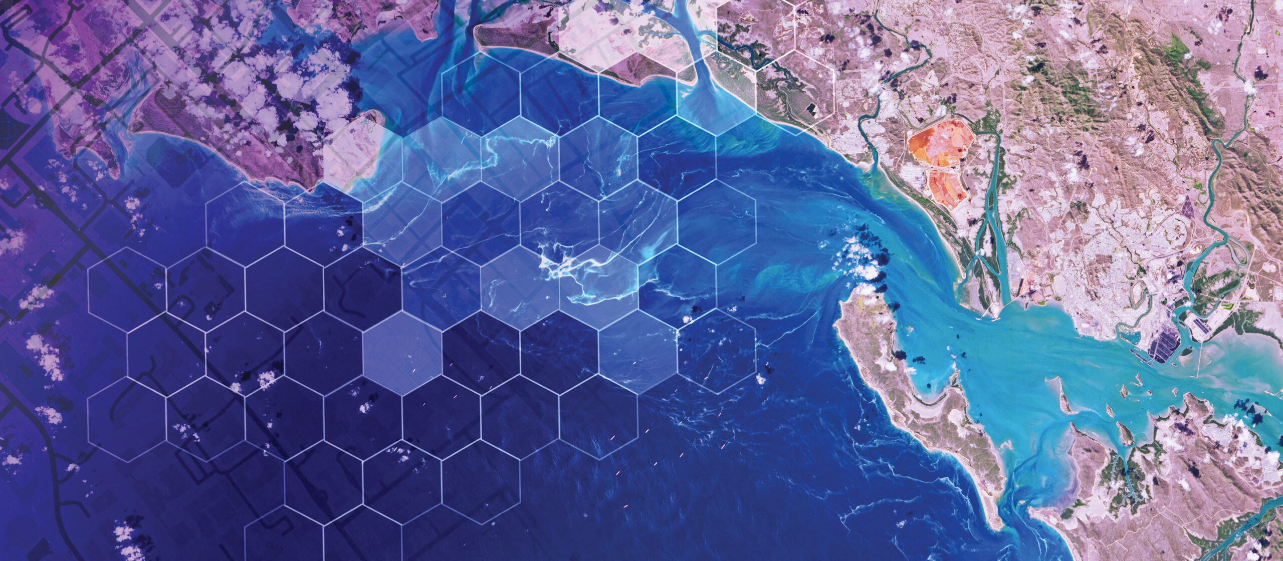
Examples of Geospatial Technologies
- Geographic Information Systems (GIS): A framework for gathering, managing, and analyzing spatial and geographic data.
- Remote Sensing: The use of satellite or aerial imagery to collect information about the Earth’s surface.
- Global Positioning System (GPS): A satellite-based system used for navigation and precise location tracking.
- LiDAR (Light Detection and Ranging): A remote sensing method that uses light in the form of a pulsed laser to measure variable distances to the Earth.

Career Paths with a Geospatial Science Degree
- GIS Analyst
Role:GIS analysts are responsible for creating, updating, and managing GIS databases. They analyze spatial data to produce maps and reports that assist in planning and decision-making.
Industries: Urban planning, environmental management, utilities, transportation, and government agencies.
Salary Expectations: The average salary for a GIS analyst ranges from $50,000 to $70,000 per year, depending on experience and location.
- Remote Sensing Specialist
Role: Remote sensing specialists analyze satellite or aerial imagery to gather information about the Earth’s surface. Their work involves processing and interpreting images to monitor environmental changes, land use, and natural disasters.
Industries: Environmental consulting, agriculture, forestry, disaster management, and government agencies.
Salary Expectations: Remote sensing specialists can earn between $60,000 and $80,000 annually, with higher salaries for those with advanced expertise and experience.
- Cartographer
Role: Cartographers design and create maps for various purposes. They use surveys, satellite images, and GIS data to produce accurate and visually appealing maps.
Industries: Publishing, urban planning, tourism, transportation, and government agencies.
Salary Expectations: The average salary for a cartographer is approximately $55,000 to $75,000 per year.
- Geospatial Data Scientist
Role: Geospatial data scientists analyze large spatial data sets to extract meaningful insights. They use advanced analytical tools and techniques to solve complex problems related to geography and spatial relationships.
Industries: Technology, environmental science, healthcare, urban planning, and government agencies.
Salary Expectations:Geospatial data scientists are highly sought after, and their salaries range from $80,000 to $120,000 per year, depending on their expertise and industry.
- Urban Planner
Role: Urban planners use geospatial data to design and develop land use plans that help create sustainable and functional urban environments. They work on projects related to zoning, transportation, and community development.
Industries: Government agencies, real estate development, consulting firms, and non-profit organizations.
Salary Expectations: Urban planners earn between $60,000 and $85,000 annually.
- Environmental Consultant
Role: Environmental consultants use geospatial technologies to assess environmental impacts and develop strategies for managing natural resources. They work on environmental conservation, pollution control, and sustainability projects.
Industries: Environmental consulting firms, government agencies, and non-profit organizations.
Salary Expectations: The average salary for an environmental consultant ranges from $50,000 to $90,000 per year.
- Geospatial Software Developer
Role: Geospatial software developers design and create applications that process and analyze geographic data. They work on developing tools for mapping, spatial analysis, and data visualization.
Industries: Technology companies, government agencies, and research institutions.
Salary Expectations: Geospatial software developers can earn between $75,000 and $110,000 annually.
- Geospatial Educator
Role: Geospatial educators teach courses in geospatial technologies and related subjects at universities, colleges, and technical schools. They conduct research, publish academic papers, and contribute to advancing geospatial science.
Industries: Higher education institutions, research organizations, and government agencies.
Salary Expectations: Salaries for geospatial educators vary widely but typically range from $50,000 to $100,000 per year, depending on the level of education and experience.
Pursuing a Geospatial Science Degree
Traditional and Online Options
Many options are available for those interested in pursuing a geospatial science degree, including traditional on-campus programs and online degrees. Programs such as a GIS bachelor degree online or an online GIS bachelor’s degree offer flexibility for students who need to balance their studies with other commitments.
Geospatial Education: Choosing the Right Program
When selecting a geospatial degree program, consider curriculum, faculty expertise, research opportunities, and career support services. Look for programs that offer hands-on training with the latest geospatial technologies and provide internships and real-world experience opportunities.
Conclusion
A geospatial science degree opens up various career opportunities across various industries. With the increasing reliance on geospatial technologies for decision-making and problem-solving, the demand for skilled geospatial scientists continues to grow. Whether you want to become a GIS analyst, remote sensing specialist, or geospatial software developer, a geospatial technology degree can provide the knowledge and skills needed to succeed in this dynamic field. By pursuing a geospatial education, you can embark on a rewarding career that significantly impacts your understanding and management of the world around you.