In today’s rapidly evolving world, geospatial technologies have become integral to our daily lives. From guiding us through unfamiliar city streets with GPS to enabling precise agricultural monitoring and aiding national security efforts, geospatial technologies are the unsung heroes behind the scenes. These technologies encompass a wide range of tools and applications, including global positioning systems (GPS), geographic information systems (GIS), remote sensing, and more. Their significance cannot be overstated, as they provide the means to collect, analyze, and visualize geospatial data, transforming the way we understand and interact with the world.
While the impact of geospatial technology is undeniable, it is equally important to acknowledge and celebrate the innovations and advancements in this field. This is where geospatial technology awards play a vital role. In this article, we will explore the evolution of geospatial technologies, the importance of geospatial technology awards, notable awards in the industry, the criteria for winning these awards, the impact of award-winning geospatial technologies, and the future trends that will shape the industry.
The Evolution of Geospatial Technologies
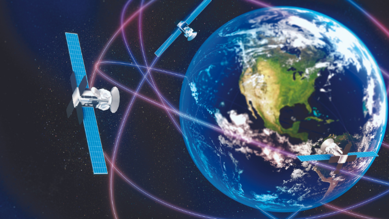
The roots of geospatial technology can be traced back to the development of the global positioning system (GPS). Initially, GPS was developed for military purposes, enabling precise navigation and location tracking. However, its potential for civilian use became evident, leading to its widespread adoption in various industries.
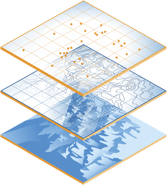
The evolution of geospatial technology has been marked by significant milestones and breakthroughs. One such milestone was the development of geographic information systems (GIS), which revolutionized how we organize, analyze, and visualize geospatial data. GIS allowed for the integration of various types of geospatial information, creating a comprehensive view of geographic locations and their components.
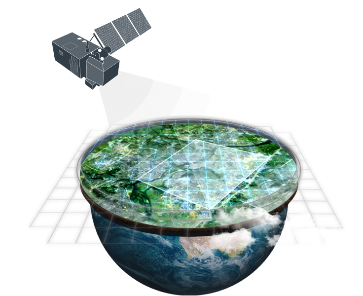
Over the years, geospatial technology has seen remarkable advancements. These include the proliferation of satellite imagery, the rise of internet mapping technologies, and the growth of geospatial data science. Remote sensing imagery, such as that provided by satellite imagery, has become a cornerstone of geospatial data collection. This data collection is essential for a wide range of applications, from urban planning to forest fire suppression.
One noteworthy development is Microsoft Virtual Earth, which brought geospatial technology to the web and allowed users to explore the Earth’s surface in unprecedented detail. Additionally, the advent of unmanned aerial vehicles (UAVs) has expanded our ability to gather high-resolution geospatial data efficiently.
Digital software has played a pivotal role in the geospatial technology landscape. It has empowered users to analyze geospatial data, identify spatial patterns, and make informed decisions. These advancements have had a profound impact on fields like urban planning, where precise location data is crucial for designing infrastructure and accommodating the ever-changing needs of urban populations.
The best paper writing websites are known for their reliability, high-quality content, and adherence to strict academic standards. They provide plagiarism-free essays, employ qualified writers, and ensure timely delivery, supporting a diverse range of academic needs with excellent customer service.
The Importance of Geospatial Technology Awards
As geospatial technology continues to advance, it becomes increasingly important to recognize and celebrate excellence in the field. Geospatial technology awards serve as a platform to honor individuals and organizations that have made significant contributions to the industry. These awards acknowledge innovation, creativity, and dedication to improving geospatial technology and its applications.
Awards not only celebrate past achievements but also inspire future innovation. When individuals and teams are acknowledged for their work in geospatial technology, it motivates others to push the boundaries of what is possible. The competitive nature of awards encourages professionals to explore new avenues, develop cutting-edge solutions, and contribute to the ever-expanding geospatial technology landscape.
Notable Geospatial Technology Awards
Several prestigious awards recognize outstanding contributions to geospatial technology. Among them are the Geospatial World Awards, the Excellence in GIS Awards, and the Geospatial Excellence Awards. These awards cover a wide spectrum of categories, including environmental management, urban planning, national security, and more. Each award category highlights the diverse applications of geospatial technology in addressing real-world challenges.
Past winners of geospatial technology awards have left a lasting impact on the industry. Their innovations have enhanced our ability to collect and analyze geospatial data, leading to advancements in fields like population data analysis, biodiversity conservation, and disaster management.
For example, winners in the field of environmental management have leveraged geospatial technology to monitor and protect fragile ecosystems. By combining maps and computer hardware, they have enabled precise tracking of changes in geographic locations, empowering scientists and conservationists in their efforts to preserve biodiversity.
Impact of Award-Winning Geospatial Technologies
The impact of award-winning geospatial technologies extends far beyond the recognition itself. These innovations often find practical applications in various domains, benefiting society in numerous ways.
For instance, award-winning projects focused on disaster management leverage geospatial data to improve response times and resource allocation during natural disasters. By combining maps, GPS data, and spatial analysis, these technologies enable authorities to make informed decisions in high-pressure situations, ultimately saving lives and minimizing damage.
In the realm of national security, geospatial technologies play a critical role in monitoring and protecting borders and sensitive areas. By utilizing data from GPS satellites and remote sensing imagery, security agencies can gather data about specific locations, track human activities, and ensure the security of geographic components crucial to national interests.
Award-winning geospatial technologies often set the standard for the industry. They serve as exemplars of what is achievable when creativity, innovation, and dedication converge. These projects inspire others to aim higher, push the boundaries of technology, and explore new applications.
Moreover, the recognition gained through awards can lead to increased funding and support for further research and development. This influx of resources enables innovators to refine their solutions, expand their reach, and continue making a positive impact on society.
Criteria for Winning Geospatial Technology Awards
Winning a geospatial technology award is no small feat, as the competition is fierce and the standards are high. Judges typically look for innovations that demonstrate a profound impact on society and industry. These innovations should leverage geospatial data to address critical challenges and provide tangible solutions.
In addition to the impact, judges assess the novelty and uniqueness of the technology or solution. Innovations that push the boundaries of existing geospatial technology or introduce novel approaches to spatial analysis are more likely to receive recognition.
For those aspiring to win geospatial technology awards, it is essential to focus on the following key areas:
- Innovation: Strive to develop innovative solutions that address pressing issues using geospatial technology. Think outside the box and explore new applications and approaches.
- Collaboration: Collaborate with experts in the field, as interdisciplinary efforts often yield groundbreaking results. Seek partnerships with organizations and individuals who share your passion for geospatial technology.
- Real-World Impact: Ensure that your work has a tangible impact on society, whether it’s improving disaster response, enhancing public health, or optimizing resource management.
- Ethical Considerations: Be mindful of ethical considerations when working with geospatial data. Respect privacy, data security, and environmental concerns in your projects.
- Continuous Learning: Stay updated with the latest advancements in geospatial technology. Attend conferences, participate in training programs, and engage with the geospatial community to expand your knowledge.
Future Trends in Geospatial Technologies
The field of geospatial technology is dynamic, with new trends and technologies constantly emerging. Some of the most promising developments include:

Advanced GPS Systems
The evolution of global positioning systems (GPS) continues, with the deployment of more advanced satellites and enhanced accuracy. These improvements open doors to applications in autonomous vehicles, precise agriculture, and location-specific data analysis.
Artificial Intelligence (AI) and Machine Learning
AI and machine learning are being integrated into geospatial technology, enabling automated data analysis, pattern recognition, and real-time decision-making. This fusion has the potential to revolutionize fields like urban planning and disaster response.
Blockchain for Geospatial Data
Blockchain technology is being explored to enhance the security and authenticity of geospatial data. This could have significant implications for industries that rely on trustworthy geographic information.
Virtual Reality (VR) and Augmented Reality (AR)
VR and AR technologies are finding applications in geospatial visualization. Users can immerse themselves in digital landscapes and interact with spatial data in entirely new ways, aiding fields like architectural design and tourism.
The Role of Geospatial Technologies in Shaping Our Future
As geospatial technology continues to evolve, it will play an increasingly vital role in shaping our future. It will contribute to more efficient and sustainable urban planning, improved disaster preparedness and response, and better-informed decision-making across various sectors.
Urban planners will harness the power of geospatial data to design cities that are environmentally friendly, resilient, and tailored to the needs of their populations. Modern tools, including AI-powered analysis and real-time data collection, will aid in optimizing resource allocation and enhancing the quality of life for urban residents.
Furthermore, the integration of geospatial technology into everyday life will become more seamless. From using GPS navigation apps like Google Maps to gathering location-specific data for personalized services, geospatial technology will continue to enrich our daily experiences.
In conclusion, geospatial technology enables us to analyze geospatial data, understand spatial patterns, and make informed decisions that impact various aspects of our lives. Geospatial technology awards recognize and celebrate the individuals and organizations that drive innovation in this field. The impact of award-winning geospatial technologies extends to real-world applications, shaping industries and inspiring future advancements. As we look to the future, emerging technologies will further expand the possibilities of geospatial technology, allowing it to play an even more significant role in shaping our world. Whether it’s in agriculture, urban planning, national security, or any other field, geospatial technology will continue to be a driving force behind progress and innovation.